





Mesa, AZ | 2015
Landscape Architect of Record: Tiffany Halperin, design lead
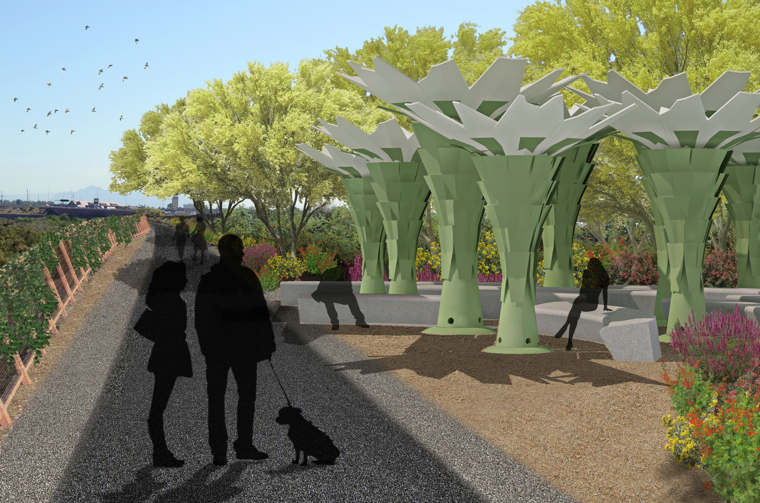
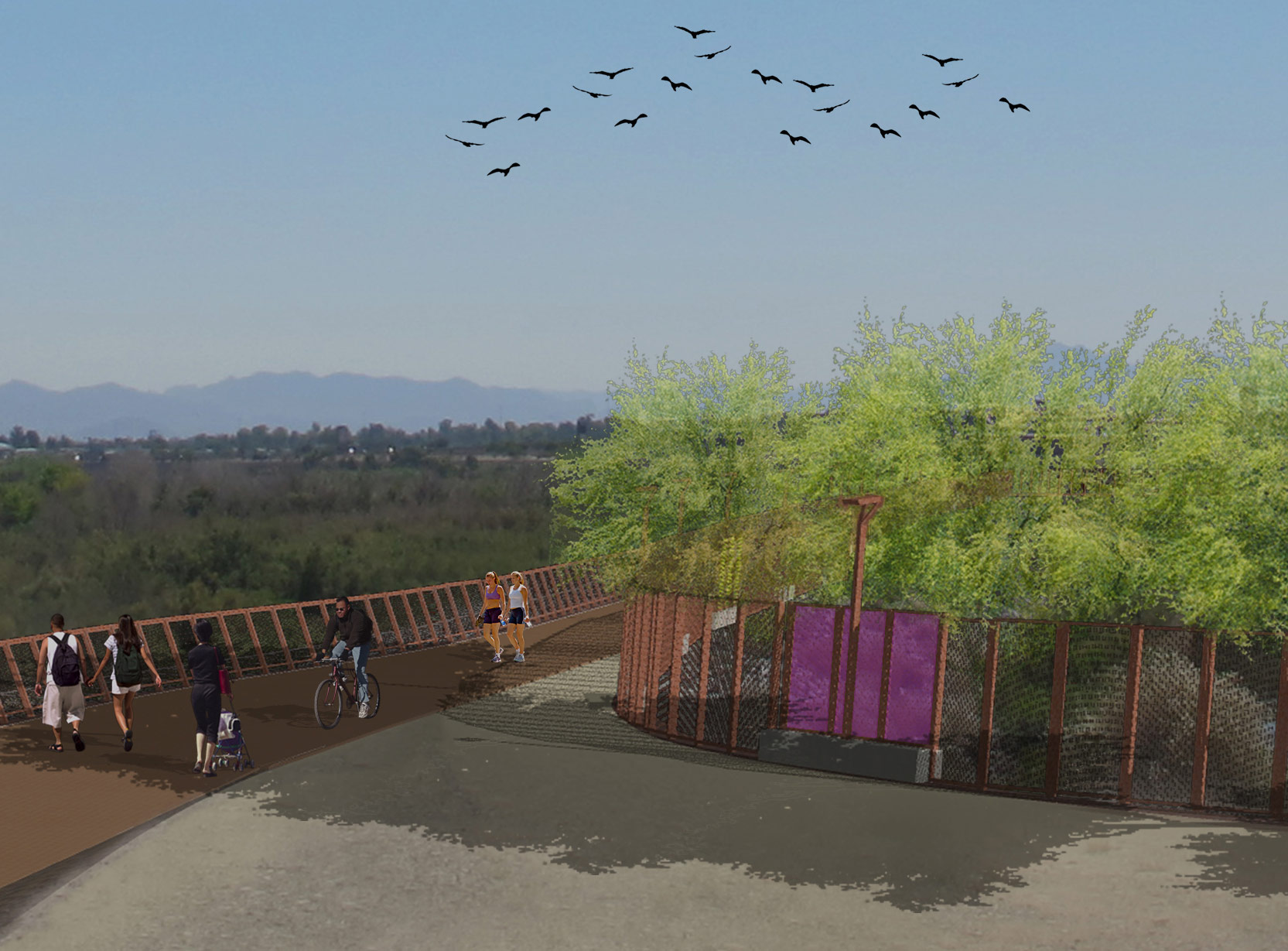
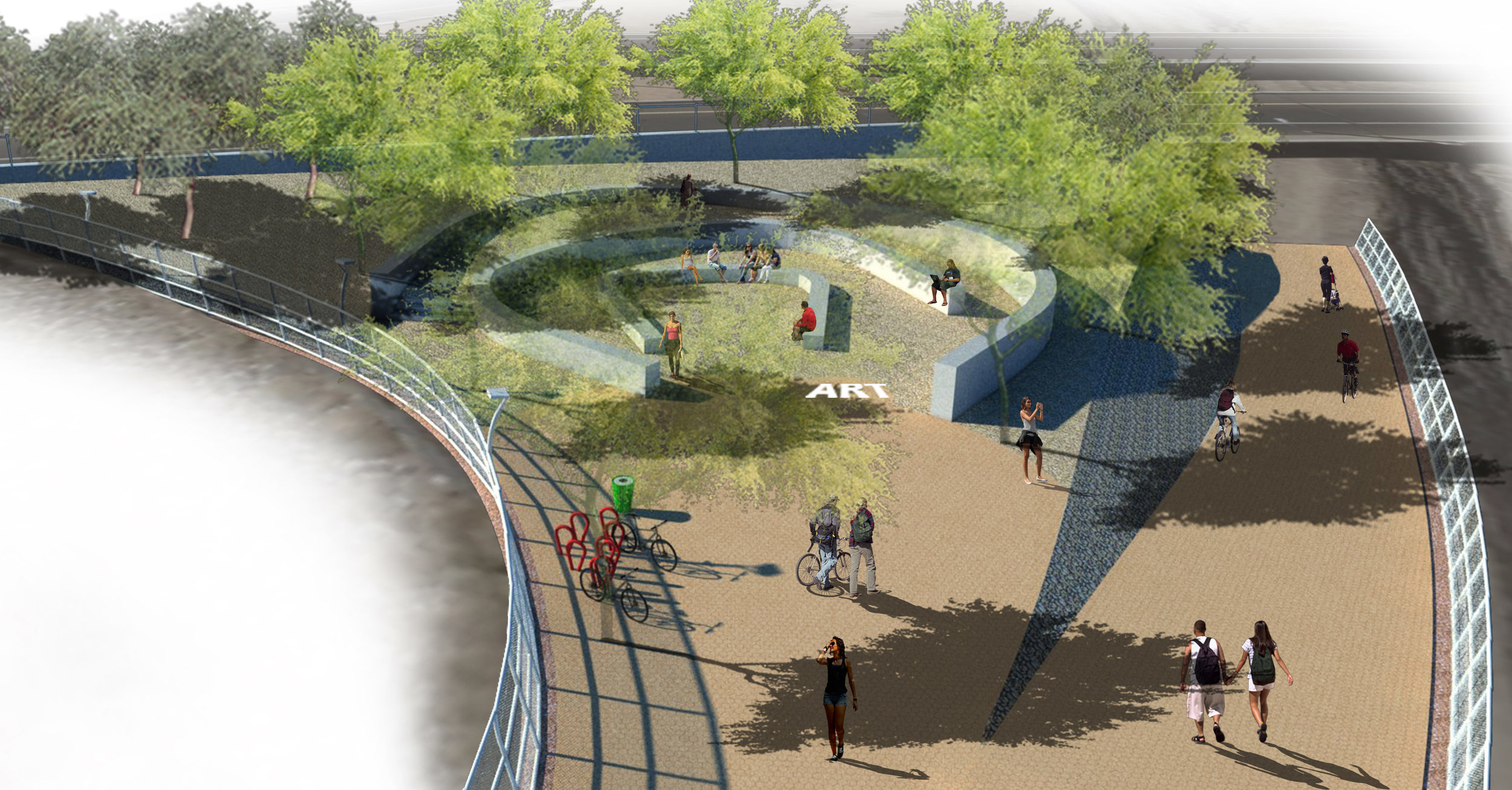
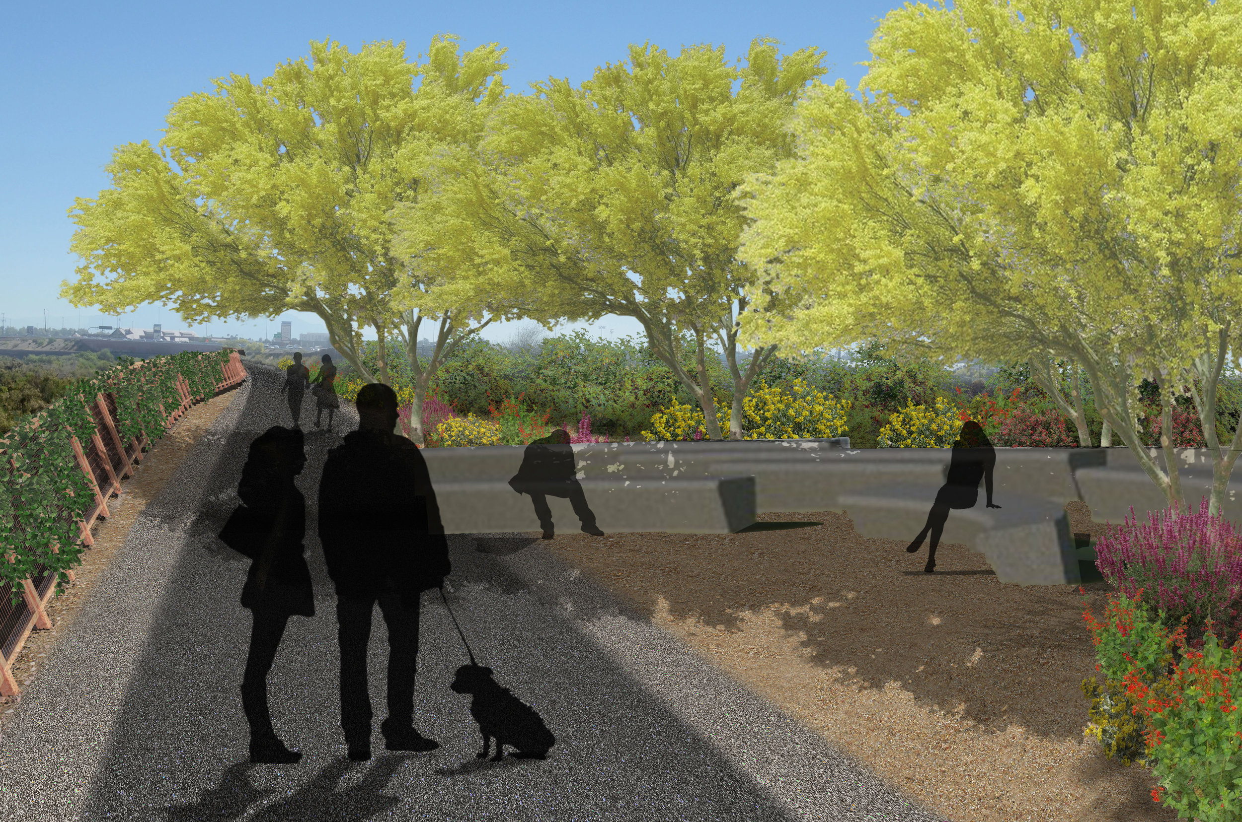
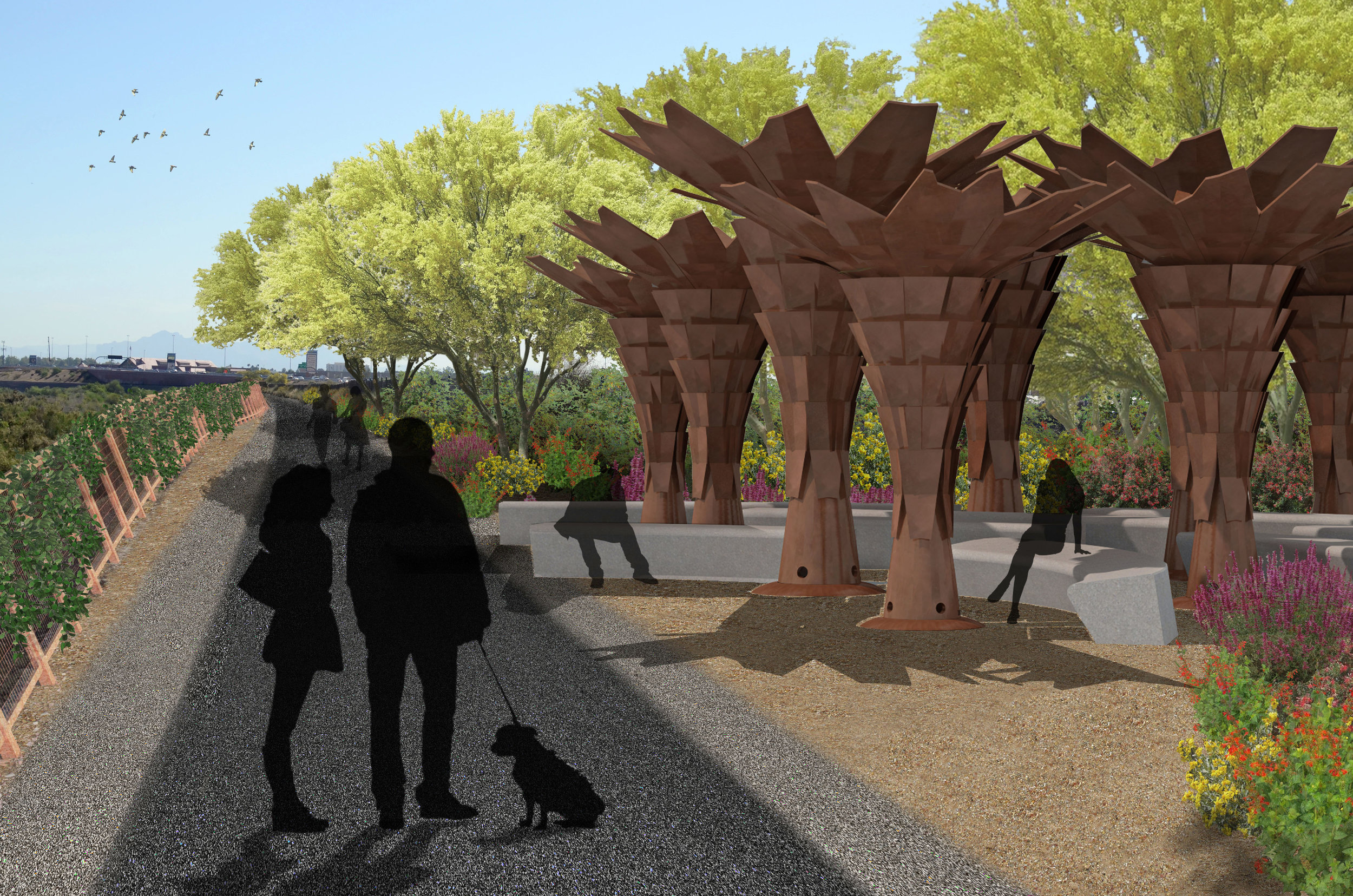
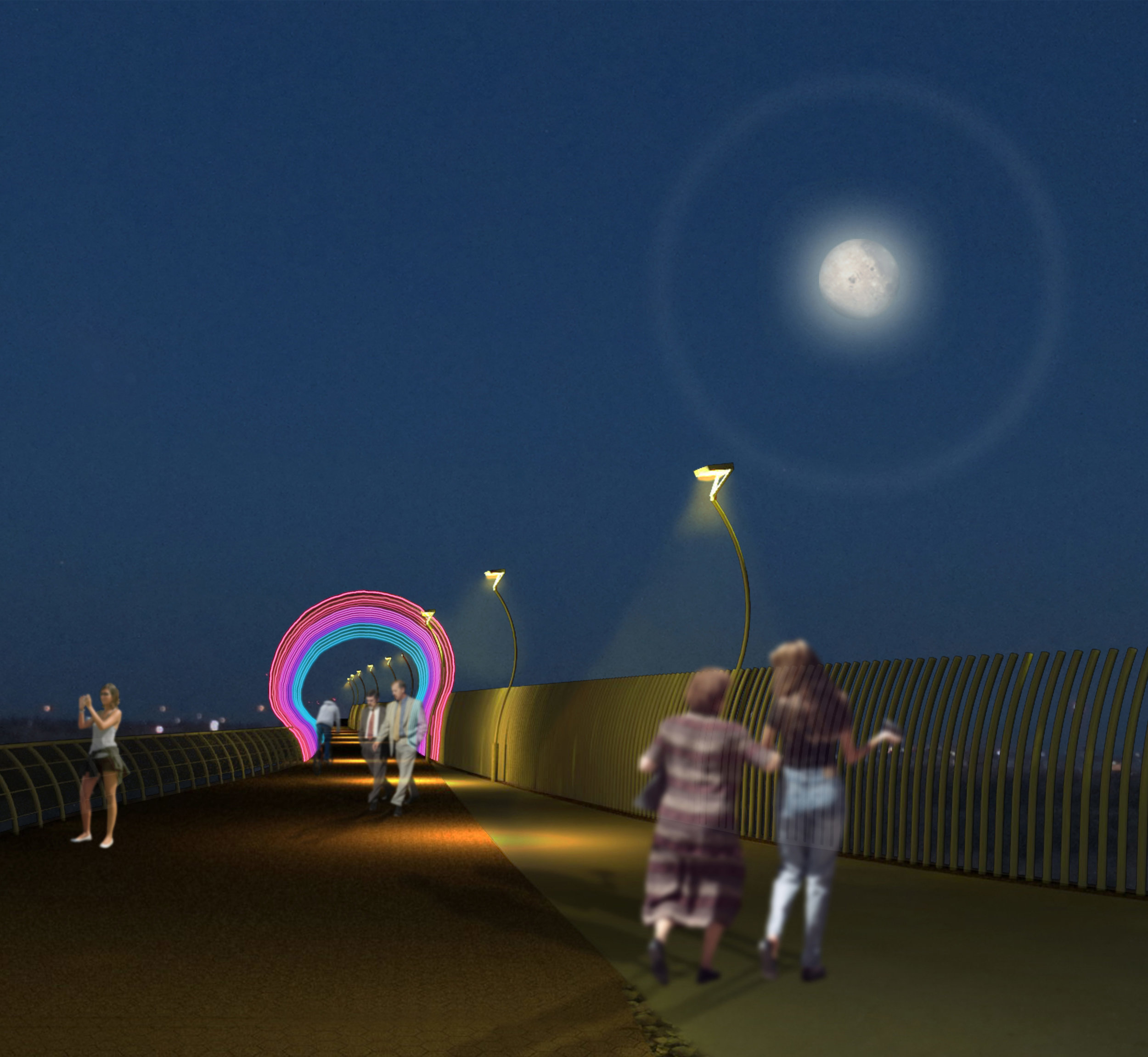
This project is the first segment in the City of Mesa’s section of a regional corridor that when complete, creates pedestrian and bicycle connection between the cities of Phoenix, Tempe, Scottsdale and Mesa. Located on the south bank top of the levee of the Salt River channel and adjacent to the Arizona Department of Transportation’s Loop 101/202 interchange it utilizes the unimproved levee as a maintenance drive and a shared-use path with safety railing, lighting, habitat observation overlooks, and landscape enhancements. It transforms a multi-jurisdictional zone into a commuter route without impeding the capacity of the Salt River channel. The landscape architect teamed with T.Y. LIN for this segment and the project is on-going.
Highlights: Multi-Use Path | Bicycle/Ped. Commuter Route | Urban Design | Placemaking | Pedestrian Connectivity | 404 Waterway | Riparian Habitat Restoration | MAG Design Assistance Program | Utility/Infrastructure Challenges | Many Agencies/Stakeholders